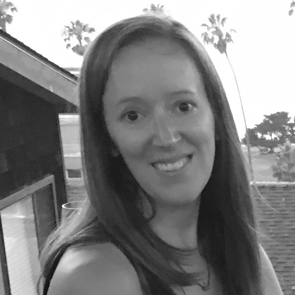
Sarah Antos
Data Scientist, World BankSarah Antos is part of the Geospatial Operational Support Team at the World Bank. Her work focuses on bringing more spatial data and imagery into urban, housing and transport projects. This includes capturing street-view images to assess rural roads in Vietnam, drones to measure rooftop resilience in the Caribbean, and satellites to images to identify irregular settlements in Africa. Before joining the World Bank, she worked at the World Health Organization and US’s Office of Foreign Disaster Assistance, where she used satellite imagery and survey data to improve disaster recovery efforts. She holds a bachelor’s and master’s degree in Geography from The George Washington University.
