Rudo Kemper
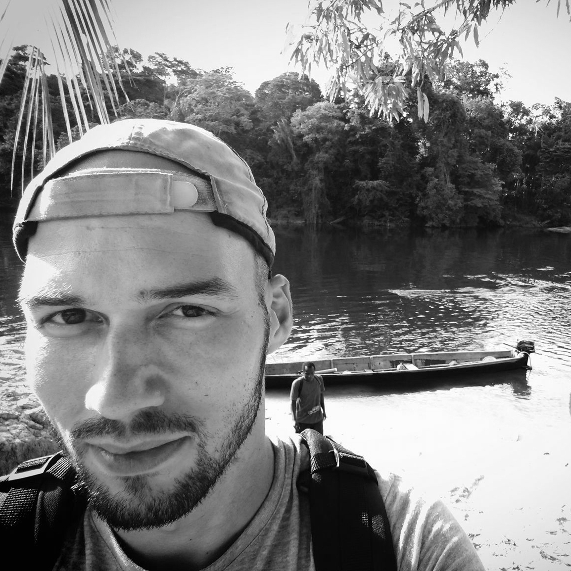
GIS & Storytelling Manager, Amazon Conservation Team @rudokemperRudo is a geographer with the Amazon Conservation Team (ACT) who works with indigenous and other traditional communities in South America on participatory mapping and storytelling projects. For the past three years, Rudo has been working with the Matawai Maroons in Suriname to map their ancestral lands and record oral history storytelling about historically and culturally significant places in their territory. In the context of this project, he is leading the development of an offline compatible-geostorytelling platform called Terrastories, which will be open-source and available for communities anywhere in the world to document their place-based storytelling using maps and media-rich content. Rudo also partakes in a range of other projects including building and managing ACT’s digital storytelling initiatives, designing effective and attractive maps in both static and interactive digital formats, conducting remote sensing and high resolution imagery analysis, and supporting ACT’s field staff and indigenous partners in the use of innovative spatial data collection and monitoring tools. Rudo’s academic background includes an MA and PhD research in Anthropology from UNC-Chapel Hill, as well as an MA in International Administration from the University of Miami. He has worked with indigenous communities in Suriname, Brazil, Colombia, and Costa Rica, and is passionate about helping communities achieve their own vision of buen vivir.