#SatSummit symbol - positive #SatSummit

Browse

Tickets
  • About
  • Speakers
  • Agenda
  • Sponsors
  • FAQs
  • Code of Conduct
  • Get Tickets
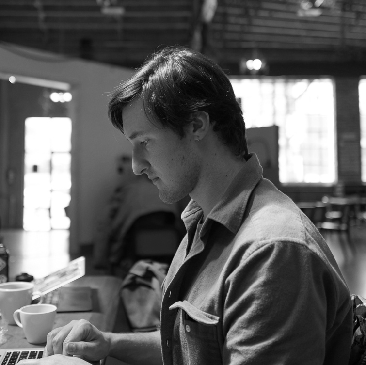
Jacques Tardie photo

Jacques Tardie

Engineer, Mapbox @jqtrde

Jacques Tardie is an engineer on Mapbox’s imagery team, where he works on image processing pipelines and infrastructure. Prior to Mapbox, he worked as a Biologist to restore and protect Maine’s salmon-rearing pipelines and infrastructure (rivers).

On the agenda

  1. Workshop Track: Analysis at Scale Facilitator

    Rasterio

    Meridian D/E • Thu, Sep 20 • 12:00AM

    Learn how installation of the satellite data processing stack is used at Mapbox, how to use the Rasterio library, and how to integrate Rasterio with Numpy and cloud platform libraries to access and transform satellite data. Difficulty: Intermediate. Prerequisites: Cloud computing & Python.

  2. Workshop Track: Machine Learning Facilitators

    Label Maker and Robosat

    Oceanic A/B • Thu, Sep 20 • 12:00AM

    There are a handful of existing annotated datasets for satellite imagery, but they’re mostly limited to urban regions in Western countries. This presents a challenge when attempting to use machine learning algorithms in non-Western regions. This workshop will show you how to generate custom data for feature extraction from aerial and satellite imagery. We’ll use two open source tools, Label Maker and RobotSat, to prepare the data, train an algorithm, and predict over a test area. Difficulty: Intermediate. Prerequisites: Basic understanding of machine learning, satellite imagery, and OpenStreetMap.

View all speakers
  • Get in touch
  • Follow us
  • 2017 Satsummit
  • 2015 Satsummit

Development Seed & Mapbox

Terms and Conditions© 2015-2018